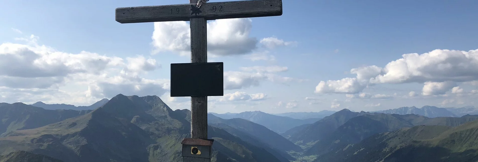
Mountain Hike Hornfeldspitze 2.277m - Touren-Impression #1 | © Erlebnisregion Schladming-Dachstein Mountain Hike Hornfeldspitze 2.277m - Touren-Impression #1 | © Erlebnisregion Schladming-Dachstein

Hornfeldspitze 2.277m

Open
"Fast" 2.000-er directly at the Sölkpass
The Sölkpass - the highest pass in Styria - is the starting point for this relatively short ascent to a mountain peak in the Wölzer Tauern.

Characteristics

Skill
Fitness
Experience
Scenery

Best season

January
February
March
April
May
November
December

The tour in numbers

medium
Level of difficulty
3,3 km
Route
3:00 h
Time
490 hm
Uphill
490 hm
Downhill
2277 m
Highest point
1788 m
Lowest point

Map & downloads

More information

The trail begins directly at the Sölkpass Chapel on the east side of the road. The path crosses a hill at the beginning and then leads along a ridge to the summit.
A visit to the Sölkpass Chapel is part of a hike up to Hornfeldspitze.

Gallery

What the weather will be like

Mariazell (860m)

Morning
very sunny
3°C
0%
0 km/h
Noon
very sunny
14°C
5%
10 km/h
Night
very sunny
11°C
5%
5 km/h
Dry and sunny throughout the day with hardly any clouds.
Morning
sunny
7°C
0%
5 km/h
Noon
sunny
19°C
0%
10 km/h
Night
very sunny
14°C
0%
5 km/h
Early clouds will clear to leave the region with a dry and sunny day.
29.04.2024
sunny
5°C 22°C
30.04.2024
sunny
7°C 23°C
01.05.2024
very sunny
6°C 22°C

Nearby accommodation options

Continue to search

You may also be interested in

Recommended tours

Accessible by public transport
Schwarzensee | © Fotograf: Volkhard Maier
Schladming-Dachstein medium Open
Route 16,0 km
Duration 6:00 h

Seekarlscharte

Das Gipfelkreuz am Großen Knallstein | Gerhard Pilz | © TVB Schladming-Dachstein
Schladming-Dachstein medium Open
Route 15,2 km
Duration 8:00 h

Summit Tour to the Knallstein

Wandern | Tom Lamm | © Tourismusverband Region Murau
Krakau medium Open
Route 11,8 km
Duration 6:00 h

Bauleiteck

Schimpelsee | Schladming Dachstein | © Fotograf Volkhard Maier
Schladming-Dachstein challenging Open
Route 14,4 km
Duration 6:30 h

Via the Hohensee to the Schimpelscharte and Etrachsee in the Krakau region

Breitenbachsee | Schladming Dachstein | © Fotograf Volkhard Maier
Schladming-Dachstein challenging Open
Route 28,5 km
Duration 11:59 h

St. Nikolai - Rudolf-Schober-Hütte - Breitlahnalm

Alexander Brunner | © Tourismusverband Region Murau
Murau challenging Open
Route 4,6 km
Duration 3:06 h

Hochstubofen

Eselsberger Alm | CM Visuals | © Tourismusverband Region Murau
Sankt Peter am Kammersberg challenging Open
Route 5,0 km
Duration 3:46 h

Rettlkirchspitze