
Kreischbergsee circuit
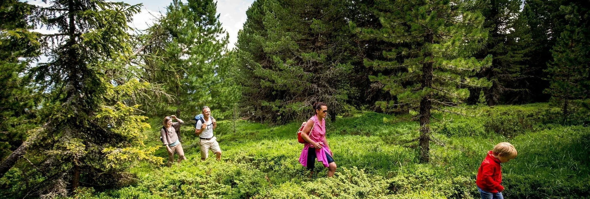
OpenA leisurely walk around the Kreischberg reservoir, the heart of the Kreischberg ski mountain's snowmaking system.
The high-altitude hiking trail from the Kreischberg mountain station to the reservoir and back. This is particularly suitable for families with small children. After the hike you can stop at the open mountain huts and end the day.
Characteristics
Best season
January
February
March
April
May
June
July
August
September
October
November
December
The tour in numbers
easy
Level of difficulty
1,5 km
Route
1:00 h
Time
40 hm
Uphill
40 hm
Downhill
1806 m
Highest point
Map & downloads
More information
Coming from Judenburg via Unzmarkt to Scheifling. Turn right here and drive via Teufenbacg, Frojach and Murau to St. Georgen ob Murau. Keep left at the “Wandaler” supermarket. Turn right at the railway track. The Kreischberg is on the left side.
Coming from Tamsweg, drive via Stadl an der Mur to St. Georgen ob Murau. Keep right at the “Wandaler” supermarket. Turn right at the railway track. The Kreischberg is on the left side.
Easy high-altitude (winter) hiking trail starting from the Kreischberg mountain station. From there we follow the signposted path towards Kreischberg Speichersee, the heart of the snowmaking system. We walk around the reservoir and walk back to the mountain station. In the immediate vicinity of the mountain station, huts and mountain restaurants invite you to take a leisurely break.
After the short hike, enjoy the warming sun on one of the sun terraces of the huts and mountain restaurants.
With the BusBahmBim app from the composite line, timetable information is easier than ever before: all bus, train and tram connections in Austria can be queried by entering locations and/or addresses, stops or important points. The app is available as a free app for smartphones (Android, iOS) - on Google Play and in the App Store.
ÖBB www.oebb.at | Styria connection line www.busbahnbim.at
Parking spaces are available directly at the Kreischberg valley station.
Die ideale Zeit für diese Tour bieten die Monate Mai bis September.
Alle Infos zum Gondelbetrieb unter www.kreischberg.at
You can also find the high-altitude winter hiking trails on the Kreischberg in the current Kreischberg piste map.


