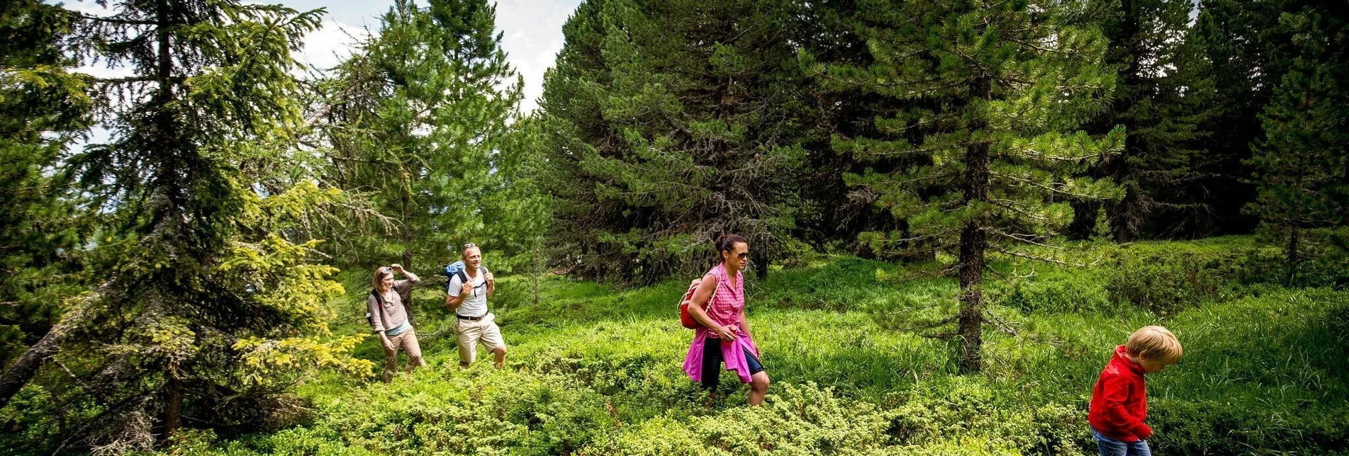
Hiking route St. Lorenzen - Kreischberg - Esebeckhütte - Touren-Impression #1 | © Tourismusverband Region Murau Hiking route St. Lorenzen - Kreischberg - Esebeckhütte - Touren-Impression #1 | © Tourismusverband Region Murau

St. Lorenzen - Kreischberg - Esebeckhütte

Open
This long hike runs along hiking trails and mountain pastures to the world championship ski mountain of Kreischberg. For an easier family-friendly variant, take the gondola lift to the top.
From the Kreischberghalle, this hike threads up the world championship mountain of Kreischberg on logging roads. Our first milestone is the halfway station for the 6-seater gondola lift, which runs up from the valley to an altitude of 1,900m. The hike then continues over meadows and paths used mainly as ski slopes in the winter. The Kreischberg is a well-known venue for numerous international ski and snowboarding competitions.

For families, there is a simpler version of the tour: you can conquer the first, steep ascent in leisurely fashion by gondola lift and start your hike at the tree line. Enjoy the local alpine flora and marvel at the breathtaking panoramic views of the Tauern and Nockberge! Traditional mountain huts and guest houses exuding a relaxed atmosphere make the perfect places to stop for refreshment.

Once you have reached the summit of the Kreischberg, you can hike back via the Esebeckhütte (mountain hut) and tackle the descent on foot or by gondola lift.


Characteristics

Skill
Fitness

Best season

January
February
March
April
November
December

The tour in numbers

medium
Level of difficulty
19,8 km
Route
7:15 h
Time
1219 hm
Uphill
1187 hm
Downhill
1981 m
Highest point

Map & downloads

More information

From D, NL, B, F: Via Munich, Salzburg, Tauernautobahn to St. Michael/Lungau (or Radstätter Tauernpaß), turn off to Tamsweg - continue towards Murau.

From H: Via St.Gotthard, Graz - Packautobahn (exit Twimberg) - Judenburg - Scheifling - Murau - Kreischberg.

From CH: Via Arlberg, Innsbruck, Bischofshofen, Tauernautobahn.

From I: Via Tarvis, Villach, St. Veit/Glan, Scheifling, Murau, Kreischberg.

By car from Vienna: Via Semmering, Bruck/Mur, Judenburg, Scheifling, Murau, Kreischberg.

Starting at the Kreischberghalle, Trail 3a leads right, about five kilometres to the halfway station and from there another 4.5 km or so to the mountain station. From the mountain station, we follow Trail 3 to the summit. To get down from the summit, continue on Trail 131 to the Esebeckhütte (not serviced) and from there keep going along Trail 131 back to Lutzmannsdorf.
Ascent with the Kreischberg gondola (Please note the opening hours!)
With the BusBahmBim app from Verbundlinie, timetable information has never been easier: all bus, train and streetcar connections in Austria can be queried by entering locations and/or addresses, stops or important points. The app is available as a free app for smartphones (Android, iOS) - on Google Play and in the App Store.

ÖBB www.oebb.at | Verbundlinie Steirmark www.busbahnbim.at 

Public parking is available directly at the Kreischberg valley station.
Information brochures are available at the various information offices. Freytag & berndt, Wander-Rad-Freizeitkarte, WK 211, Naturpark Zirbitzkogel Grebenzen, Murau, Sölkpass, 1:50 000, ISBN 978-3-85084-680-6

Gallery

What the weather will be like

St. Georgen am Kreischberg (851m)

Morning
weather.icon.04
9°C
0%
0 km/h
Noon
weather.icon.04
19°C
5%
10 km/h
Night
slightly cloudy
15°C
10%
5 km/h
Rather cloudy in the morning, then sunny spells will develop gradually.
Morning
weather.icon.04
10°C
10%
0 km/h
Noon
foggy
15°C
80%
0 km/h
Night
foggy
12°C
85%
5 km/h
Mostly cloudy through the day with light rain now and then.
08.05.2024
foggy
7°C 16°C
09.05.2024
slightly cloudy
6°C 18°C
10.05.2024
sunny
4°C 21°C

Nearby accommodation options

Continue to search

You may also be interested in

Recommended tours

Accessible by public transport
dörfer-aussichts-runde_img_24325754 | Jasmin Schmidt | © Tourismusverband Region Murau
Schöder medium Open
Route 5,5 km
Duration 1:43 h

Village-viewing-circuit

Accessible by public transport
Schöder | René Hochegger | © Tourismusverband Region Murau
Schöder medium Open
Route 10,3 km
Duration 3:21 h

Waterfall - Schöderberg round

Accessible by public transport
Gipfelkreuz | Tourismusverband Region Murau | © Tourismusverband Region Murau
Murau medium Open
Route 17,5 km
Duration 5:30 h

From Murau over the Stolzalpe to St. Peter am Kammersberg

Accessible by public transport
Sofie's Hütte | Tourismusverband Region Murau | © Tourismusverband Region Murau
Ranten medium Open
Route 17,1 km
Duration 6:30 h

Trattenkogel

Accessible by public transport
Frauenalpe | Tom Lamm | © Tourismusverband Region Murau
Murau challenging Open
Route 21,6 km
Duration 8:30 h

8-summit hike: From Frauenalpe to Kreischberg

Accessible by public transport
Wandern mit der Familie | ikarus.cc | © Tourismusverband Region Murau
Murau easy Open
Route 4,6 km
Duration 1:30 h

Käferweg from Murau towards Stolzalpe

Accessible by public transport
Wanderung auf den Murauer Hausberg - Frauenalpe | Ikarus.cc | © Tourismusverband Region Murau
Sankt Georgen am Kreischberg easy Open
Route 6,3 km
Duration 3:00 h

From the Murauerhütte to the Frauenalpe